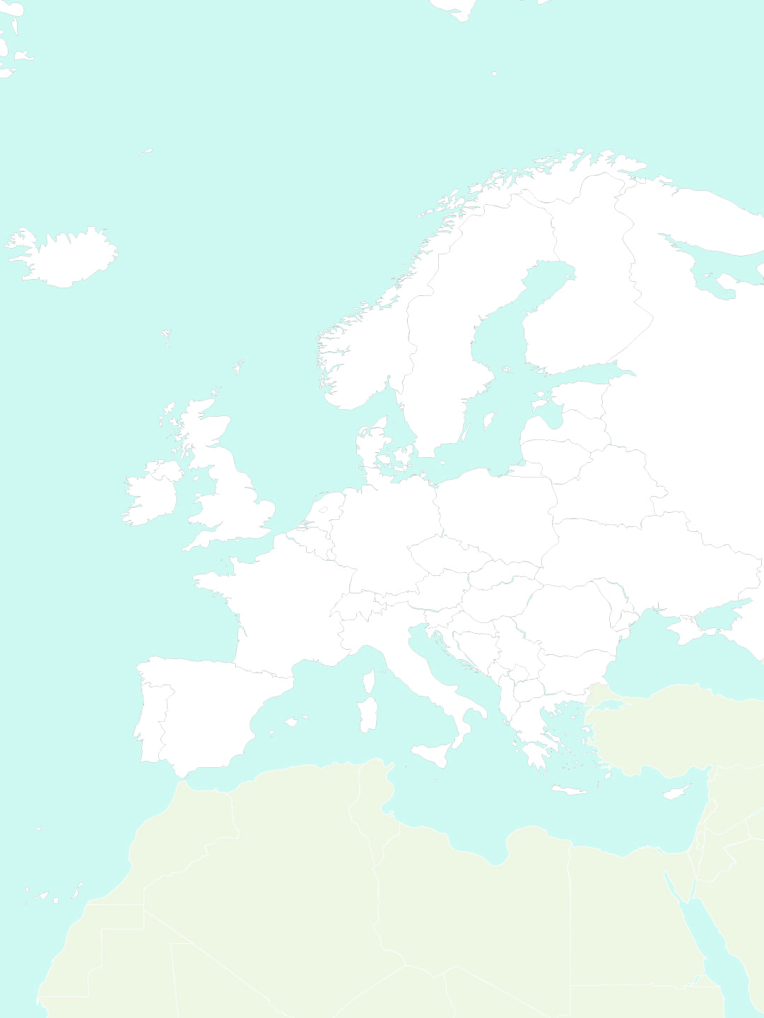
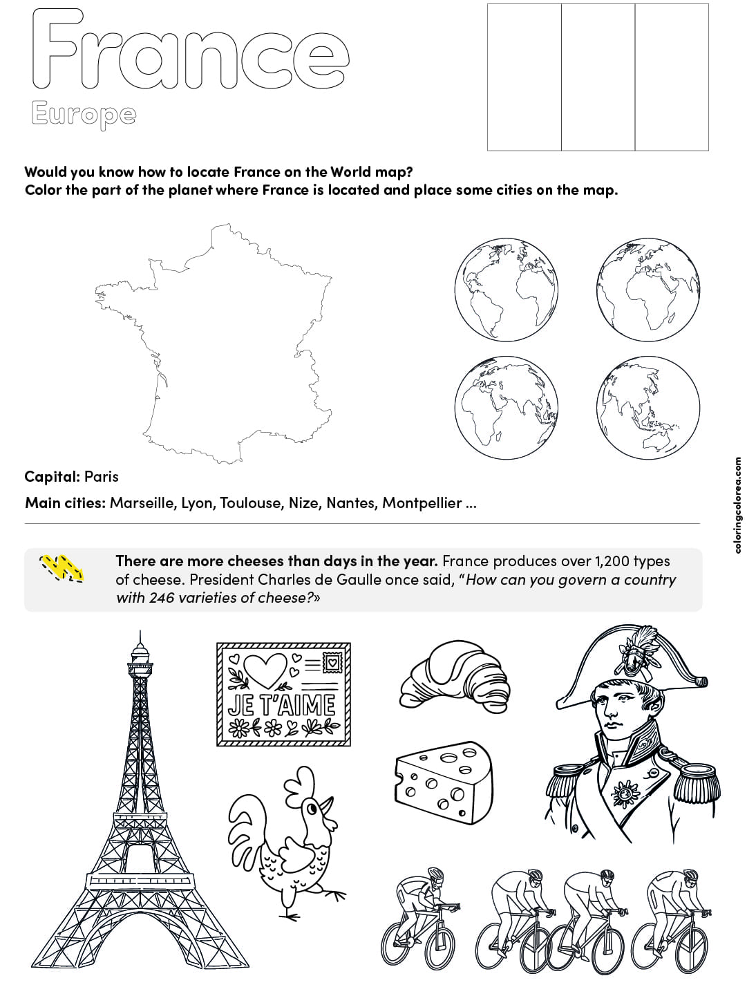
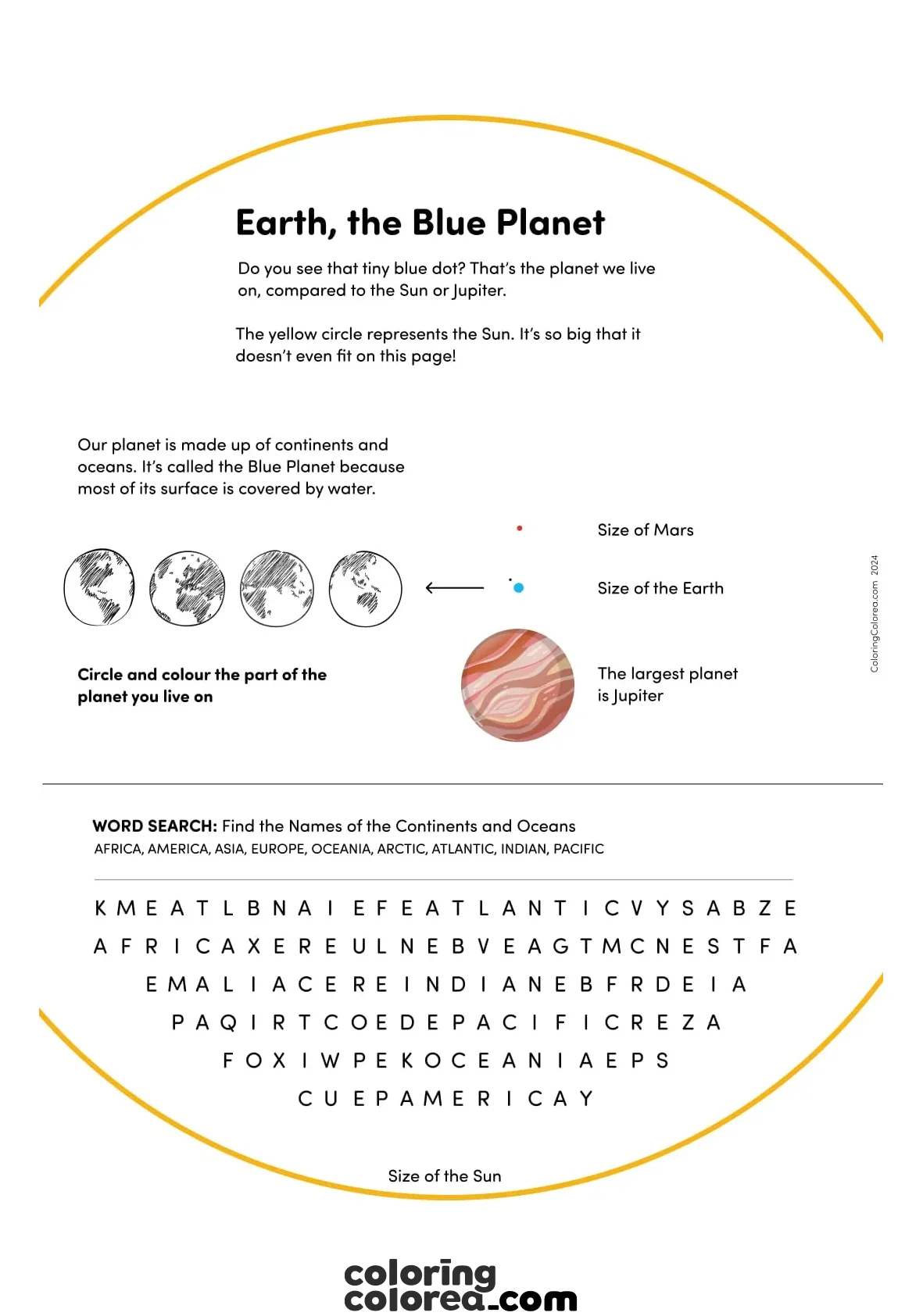
This map is a brilliant tool for all sorts of activities. Maybe you colour in the EU countries in blue, or draw arrows from each country to its capital. You could even turn it into a game—how many countries can you name in two minutes? Or, if you’re feeling creative, why not make a chart showing which languages are spoken where, or what currencies people use? The possibilities are endless, and there’s something quite satisfying about seeing your own notes and colours bring the map to life.
Skills Children Develop
- Spatial awareness: Kids start to get a real feel for where things are in Europe, not just on paper but in their minds.
- Visual memory: Shapes of countries become familiar, almost like recognising faces in a crowd.
- Logical thinking: Sorting countries into EU and non-EU groups, for example, helps sharpen those reasoning skills.
- Spelling: Writing out names like “Liechtenstein” or “Montenegro” is a challenge, but it’s a great way to practise spelling.
- Analysis and synthesis: Making charts or diagrams isn’t just busywork—it actually helps connect the dots between facts.
- Independence: There’s a sense of pride in figuring things out on your own, even if you have to look something up a few times.
- Resilience: Let’s face it, forgetting a country’s name can be frustrating. But learning to keep trying, and not give up, is a valuable lesson in itself.
What Kids Need to Know First
- A basic idea of where Europe is, and maybe a few countries to start with.
- Some spelling skills—no one expects perfection, but being able to write names helps.
- A bit of experience using an atlas or a globe can make things less intimidating.
Who’s It For?
- Generally, kids from around 8 years old (Year 4) and up get the most out of it. But honestly, with a bit of help, younger children can join in too.
- It’s also a handy refresher for older students—sometimes even adults find themselves double-checking where Moldova is!
Extra Activities to Try
- Colour all the EU countries in one colour—maybe green for hope or blue for unity.
- Draw lines from each country to its capital. It’s trickier than it sounds!
- Make a list of all the countries, seas, and oceans you can spot.
- Create a table of official languages, currencies, or even national dishes (who doesn’t love a bit of food trivia?).
- Turn the map into a memory game—“Guess the Country” is always a hit.
- Trace out migration routes, or sketch simple trade or climate routes if you want to dig a bit deeper.
Tips for Parents and Teachers
- Try not to jump in with corrections right away. Sometimes, letting a child puzzle things out or look something up is where the magic happens.
- Celebrate the small wins. Remembering just one more country is a step forward.
- Use the map as a springboard for bigger conversations: What is the EU, really? Why do borders exist? These chats can be surprisingly thought-provoking.
- If frustration creeps in, remind them that everyone forgets things sometimes. Mistakes are just part of the journey.
- And if you want to keep things fun, set little challenges—maybe a weekly quiz or a family competition.
You can print this map for free and start exploring right away. It’s a simple way to get to know the countries, seas, and oceans that make Europe so fascinating. Whether you’re revising for school, planning a trip, or just curious, this map is a great place to start your adventure.


