Skills developed:
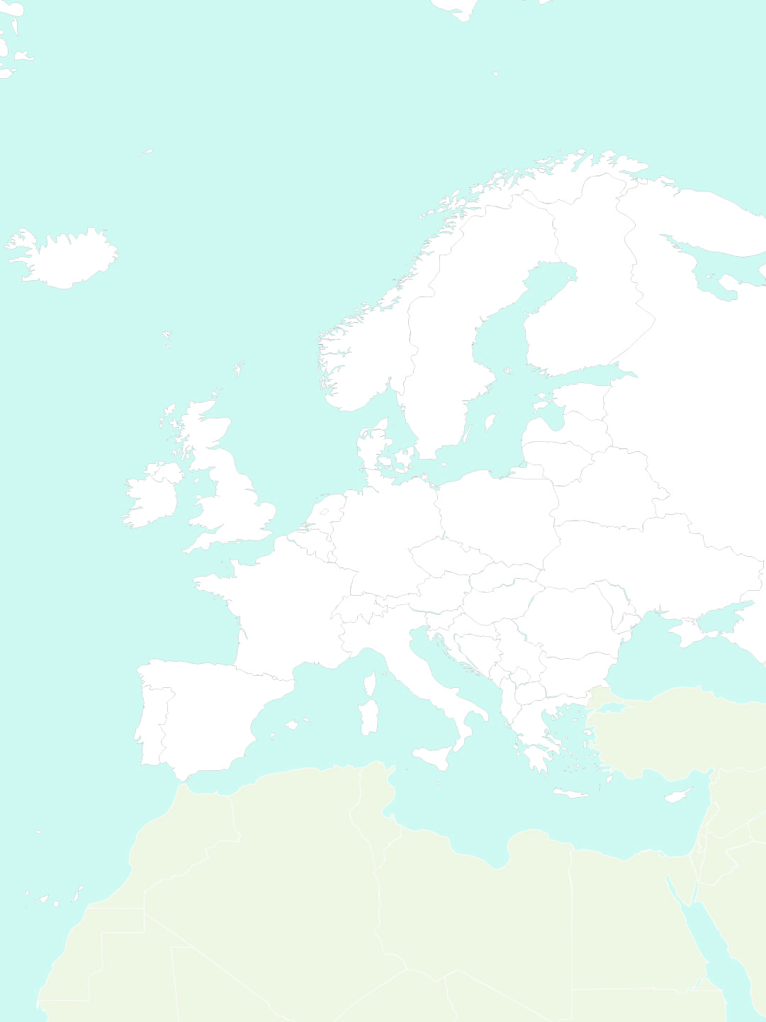
- Spatial orientation: understanding the layout of countries.
- Visual memory: recognizing and remembering shapes and locations.
- Focus and attention: essential to complete the activity accurately.
- Logical thinking and association: matching names with their places.
- Intrinsic motivation: children feel proud when they can locate countries.
Recommended age:
Ideal for children aged 8 to 12, though adaptable for younger learners as reinforcement.
Skills needed to complete the activity:
- Basic knowledge of the American continent.
- Ability to read country names.
- Understanding of map orientation (up/down, left/right, cardinal points).
Complementary activities:
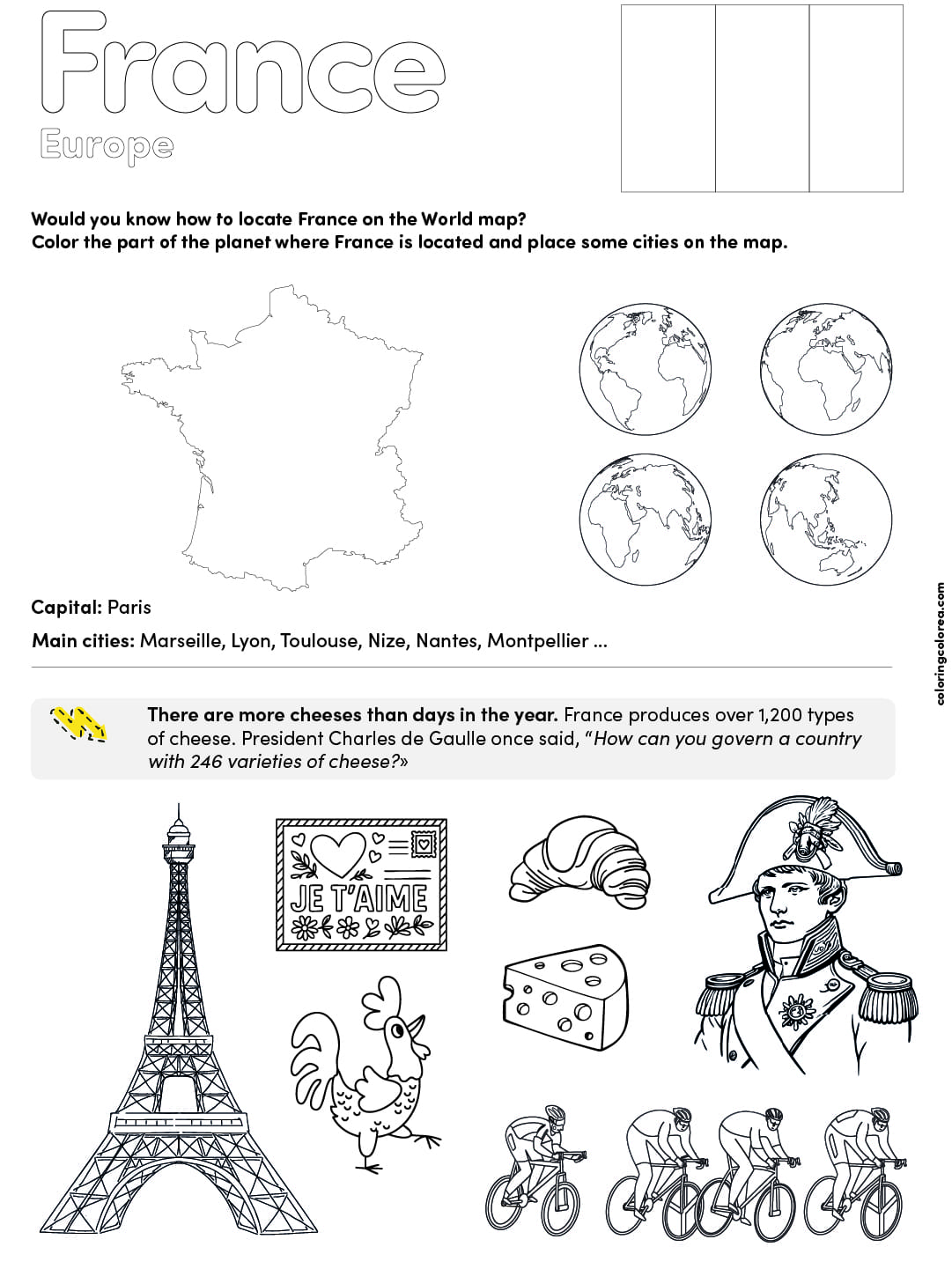
- Color the countries after identifying them.
- Match flags to countries.
- Capital city memory games.
- Create a travel journal with fun facts about each country.
- Use cut-out labels to stick country names on the map.
Emotional and developmental aspects:
Working with maps builds more than just geographic knowledge. It requires consistency and practice. Children may struggle at first, but improvement is quick and motivating. Mistakes are part of learning. Help children see errors as learning steps and celebrate their progress. This activity promotes independence, curiosity, and self-confidence.


